tall oatgrass
(Arrhenatherum elatius)
This species is Introduced in the United States
Selected Images
Maps
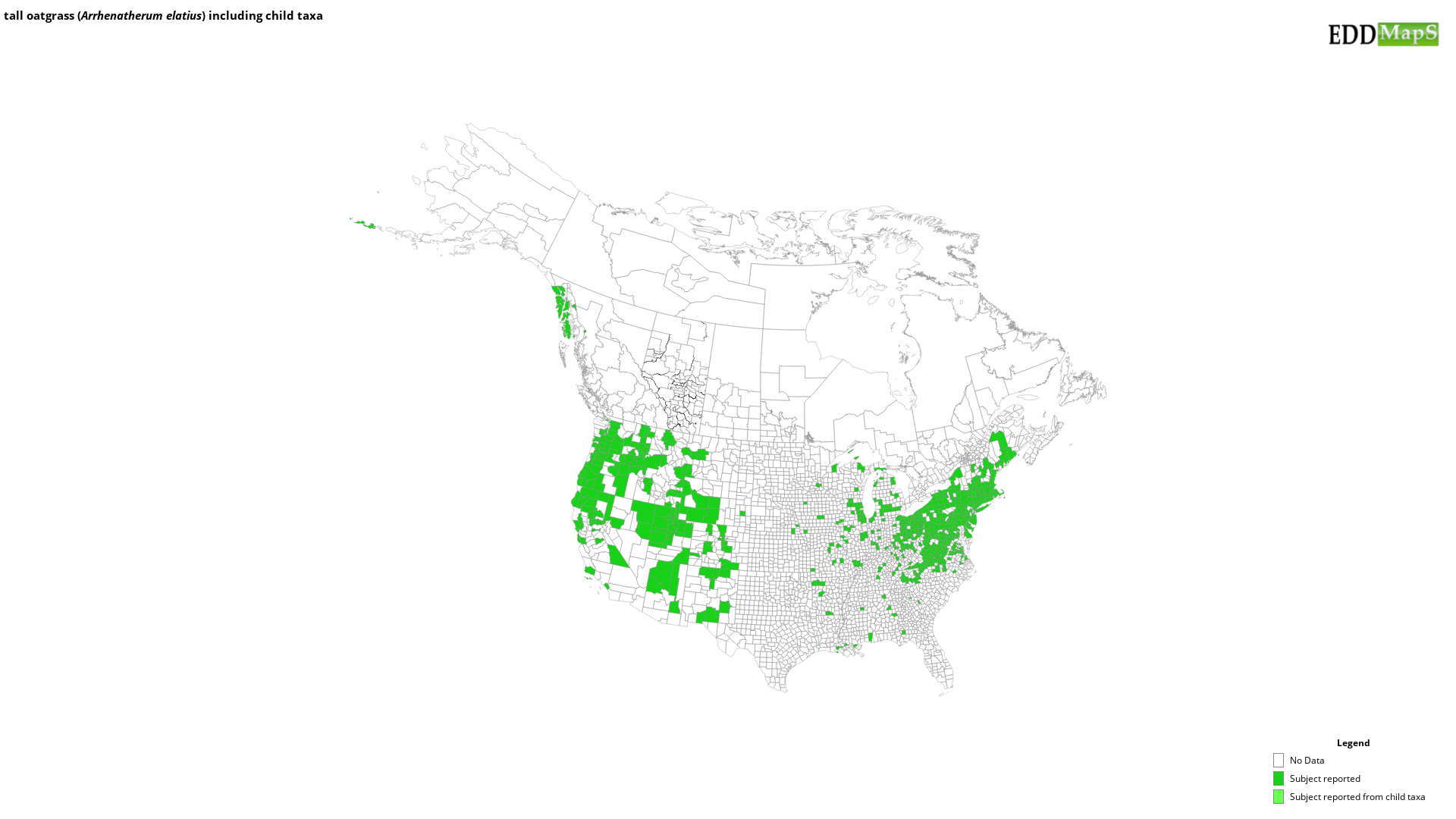
EDDMapS Distribution - This map is incomplete and is based only on current site and county level reports made by experts, herbaria, and literature. For more information, visit www.eddmaps.org
State Lists - This map identifies those states that have this species on their invasive species list or law.
Invasive Listing Sources
- Invasive Plant Species of West Virginia
- Jil M. Swearingen, Survey of invasive plants occurring on National Park Service lands, 2000-2007
- John Randall, The Nature Conservancy, Survey of TNC Preserves, 1995.
- National Park Service, Mid-Atlantic Exotic Plant Management Team Invasive Plant List
- Native Plant Society of Oregon, 2008
- Nonnative Invasive Species in Southern Forest and Grassland Ecosystems
- WeedUS - Database of Plants Invading Natural Areas in the United States
- West Virginia Native Plant Society, Flora West Virginia Project, and West Virginia Curatorial Database System, September 3, 1999
Taxonomic Rank
| Domain: Eukarya |
| Kingdom: Plantae |
| Phylum: Magnoliophyta |
| Class: Magnoliopsida |
| Superorder: Lilianae |
| Order: Poales |
| Family: Poaceae |
| Genus: Arrhenatherum |
| Arrhenatherum elatius |
References
Common Name Reference: USDA, NRCS. 2010. The PLANTS Database. National Plant Data Center, Baton Rouge, LA, USA.
Scientific Name Reference: USDA, NRCS. 2010. The PLANTS Database. National Plant Data Center, Baton Rouge, LA, USA.


